Tamil Nadu · Palani Hills, Western Ghats
Kodaikanal
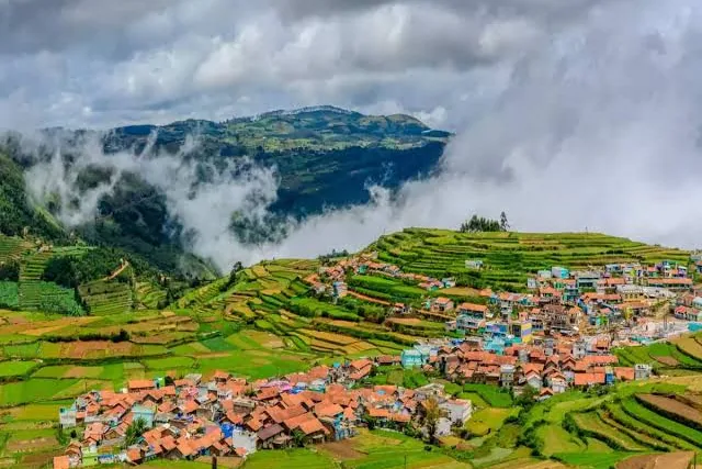
Kodaikanal was founded in 1845 by American missionaries and British officials as a refuge from the tropical heat and disease of the plains. Set at 2,133m in the Palani Hills, it quickly earned the nickname "Princess of Hill Stations" for its cool climate and layered valley views.
Its centrepiece, Kodaikanal Lake, is entirely man-made — built in 1863 by damming three streams on the suggestion of Vere Levinge, then Collector of Madurai. The star-shaped lake is still the town's social and geographic heart, ringed by a 5km path used for walking, cycling, and boating. Kodaikanal is also the one destination Yatro has built out in full depth: a 3-level trail with 9 stops, separate walking, bike and car directions for each, and a live weather advisory in the app.
How to reach Kodaikanal
Places to visit
Kodaikanal Lake
The town's star-shaped man-made lake, built in 1863 — the natural starting point for most visits.
Coaker's Walk
A 1km ridge-edge walkway built in 1872, with open views over the valley and plains below.
Bryant Park
A landscaped park beside the lake, known for its annual flower show each May.
Pillar Rocks
Two 122m rock formations about 7km from the lake, one of the most photographed viewpoints in town.
Guna Caves
Bat-infested chambers between giant boulders, made famous by the Tamil film Gunaa.